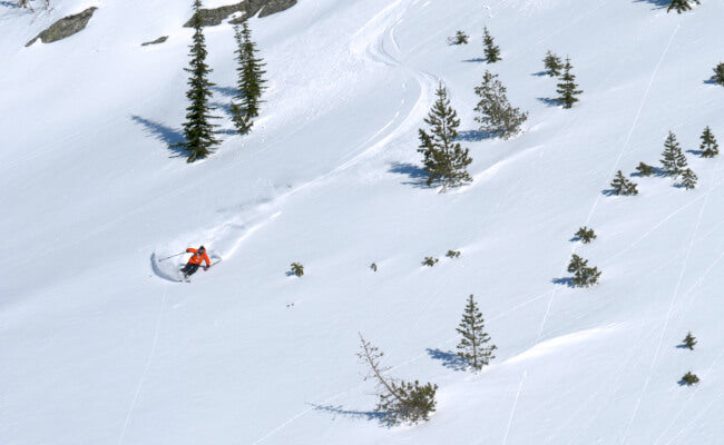
Powder alert
Our friends over at Powder Chasers are forecasting a good start to the winter for us. Below is an excerpt from their recent post, which you can read in full at powderchasers.com.
As of Friday morning, moisture is also focused on the Cascade ranges, with Crystal Mountain opening (6 new overnight). Temps are warming in the Cascades, with some surf snow expected through Saturday/Sunday, primarily focussed on the interior from Mission Ridge to Spokane. Schweitzer and Selkirk Powder Guides in Northern Idaho will likely nab decent totals through Sunday (9-13) and slightly cooler temps being inland.
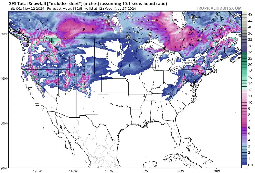
Below is the total snowfall for WA and northern Idaho from Friday to Saturday night (November 24). Northern Idaho extending into southern BC could fare well this weekend, albeit with slowly warming temperatures.

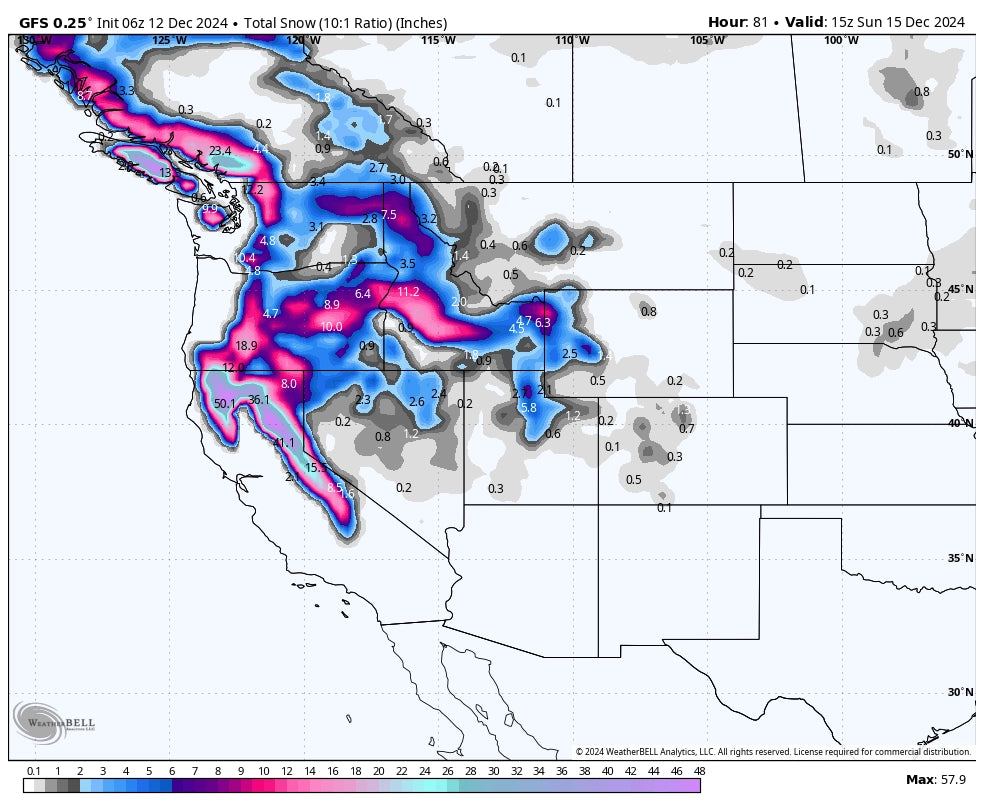
Below is the total snowfall for Idaho from Friday to Sunday shows decent amounts for many areas. Unfortunately, the models downtrended for Sun Valley based on my last forecast. Another deep spot to watch will be Whitefish in northern Montana as moisture streams east of the northern Panhandle of Idaho. Selkirk Powder Guides should once again score some deep snowfall.

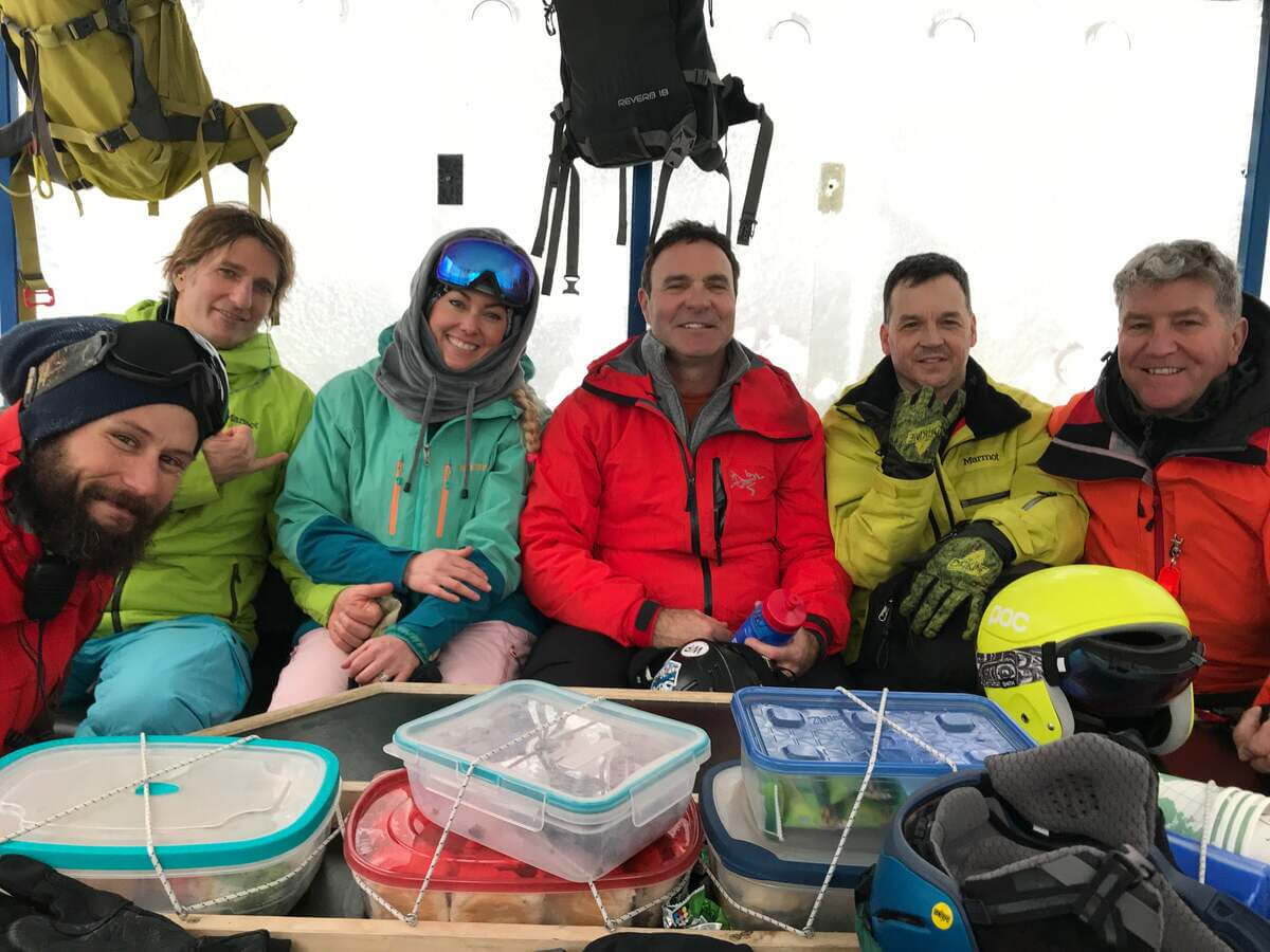
Written by Kenneth Barrett