
Terrain
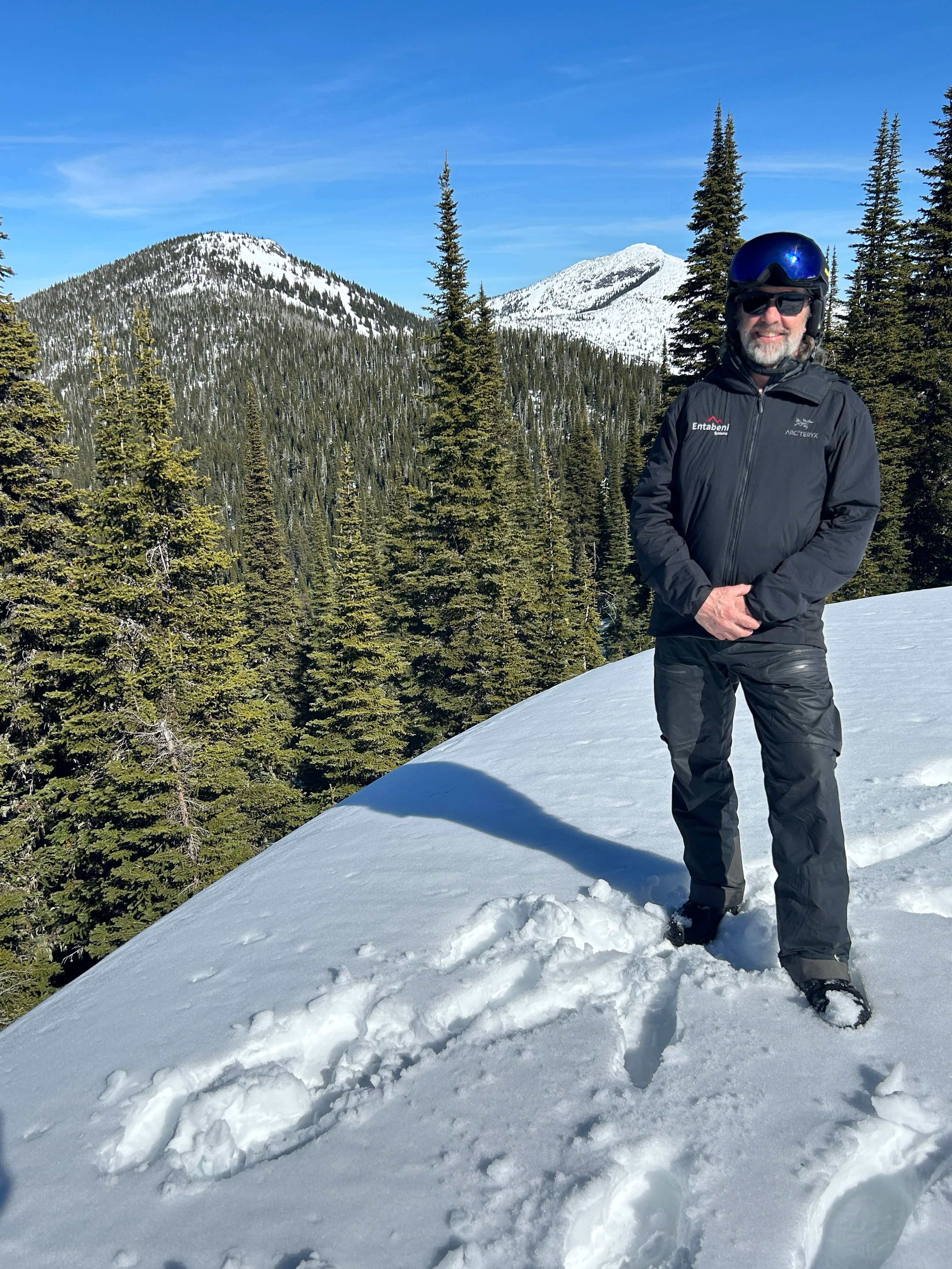
Atlasta-Casey!
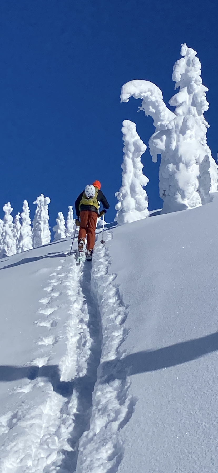
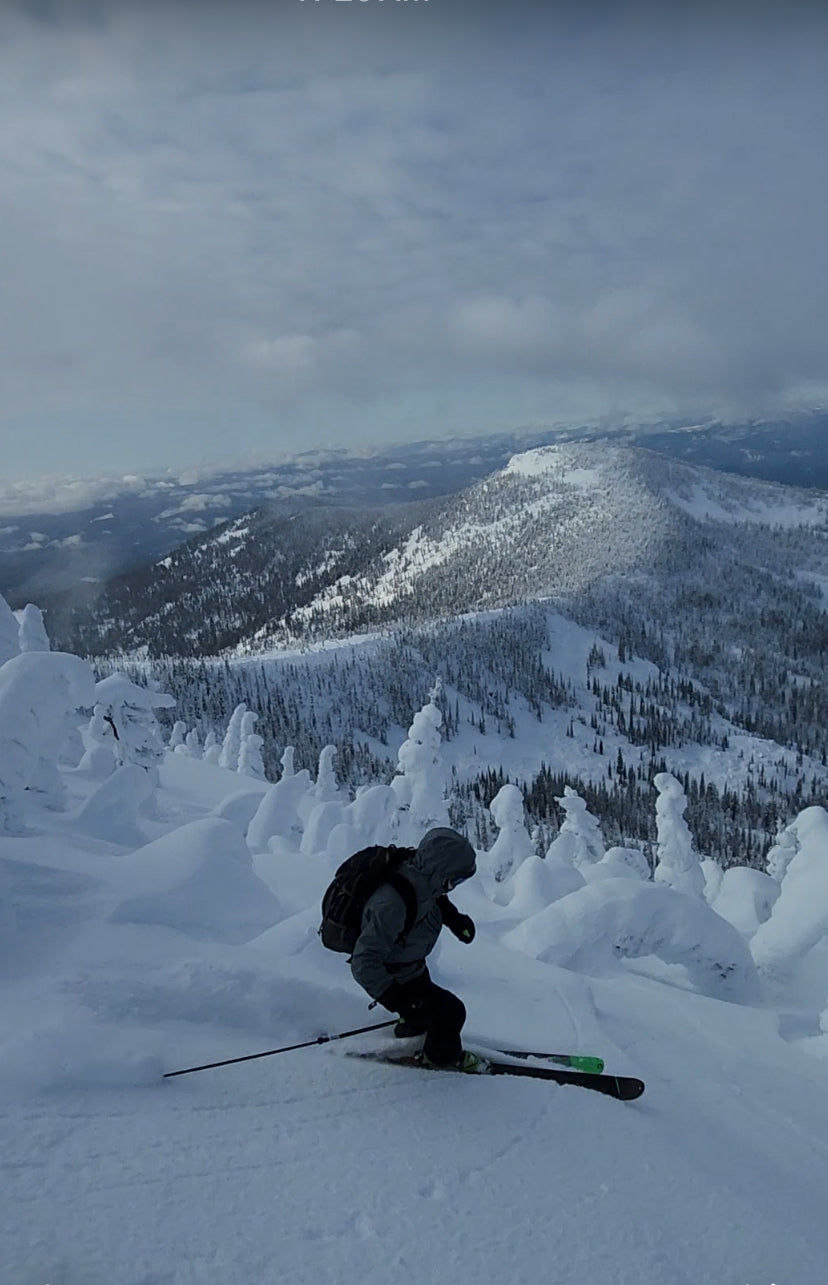
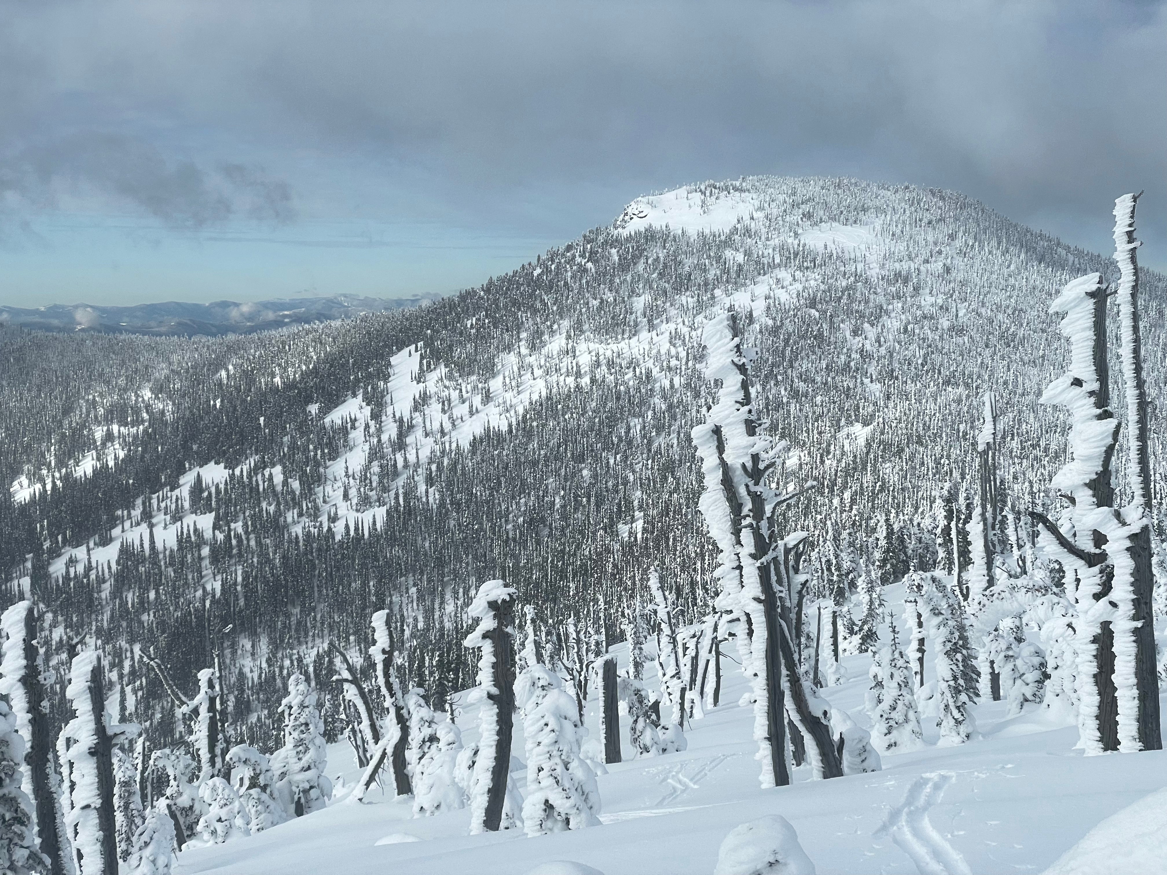
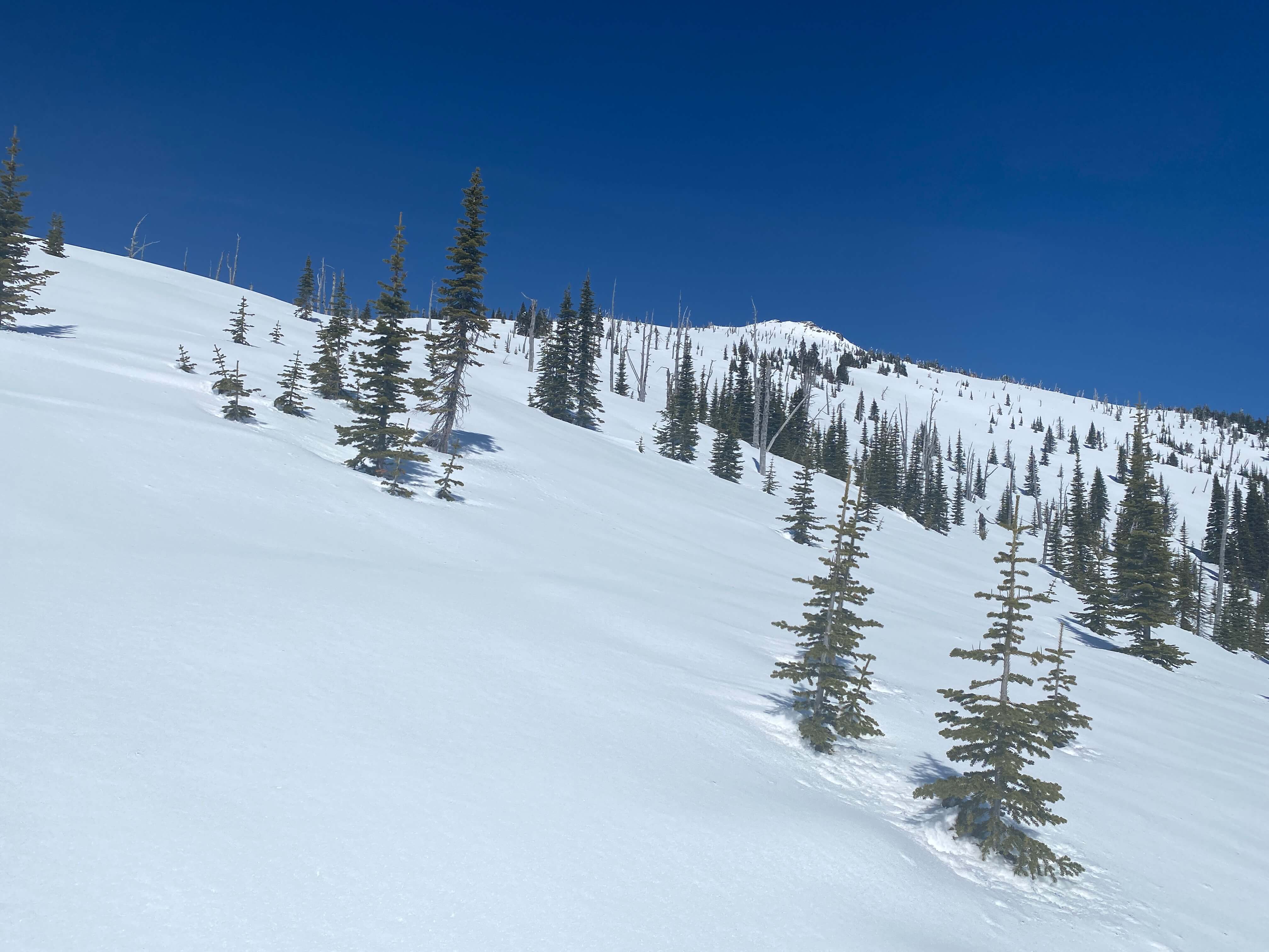
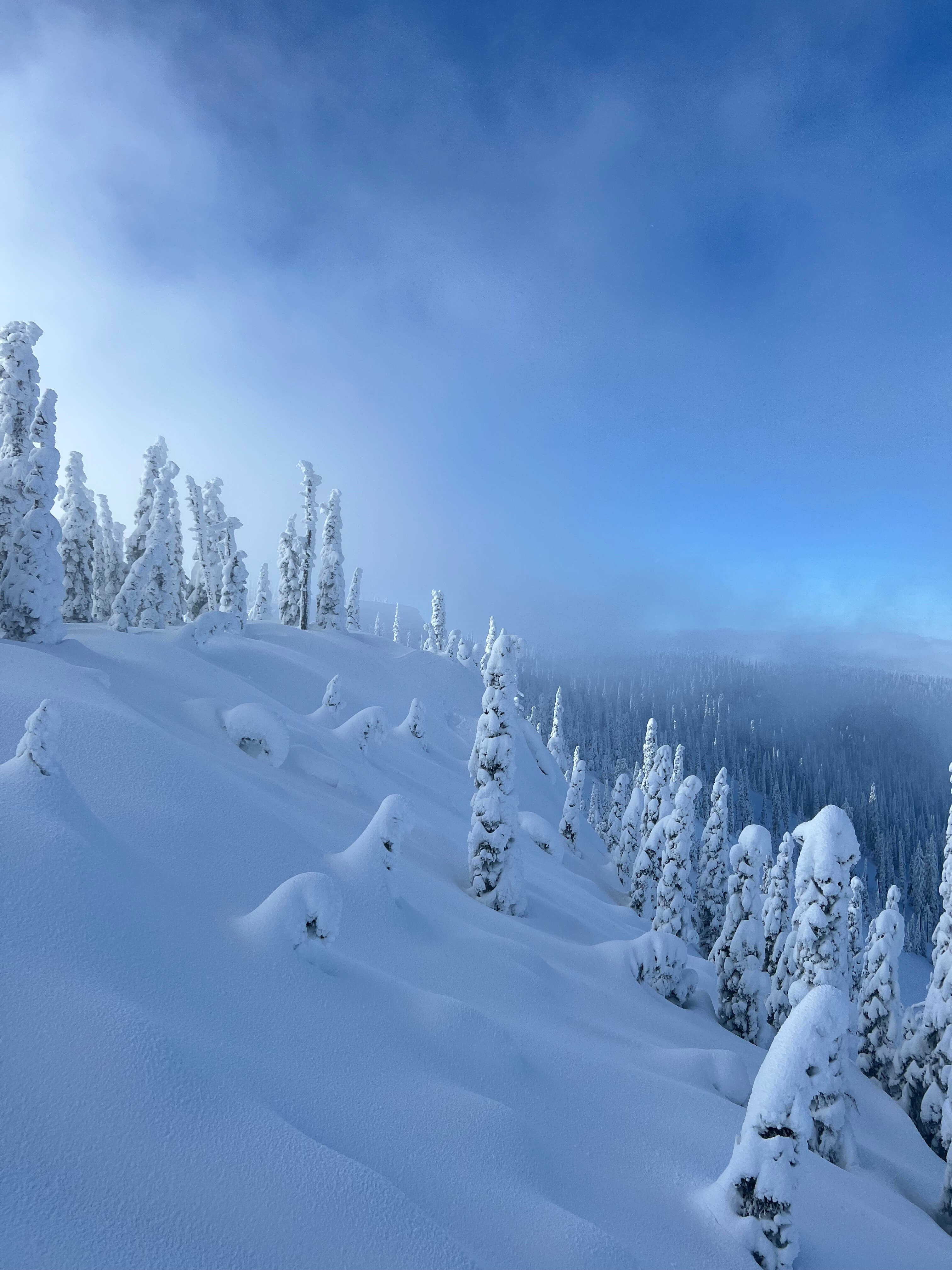
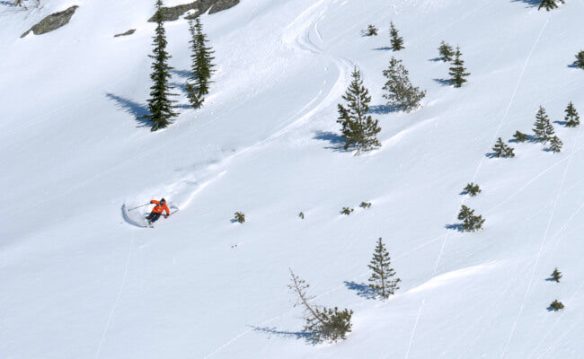
Glades like nowhere else
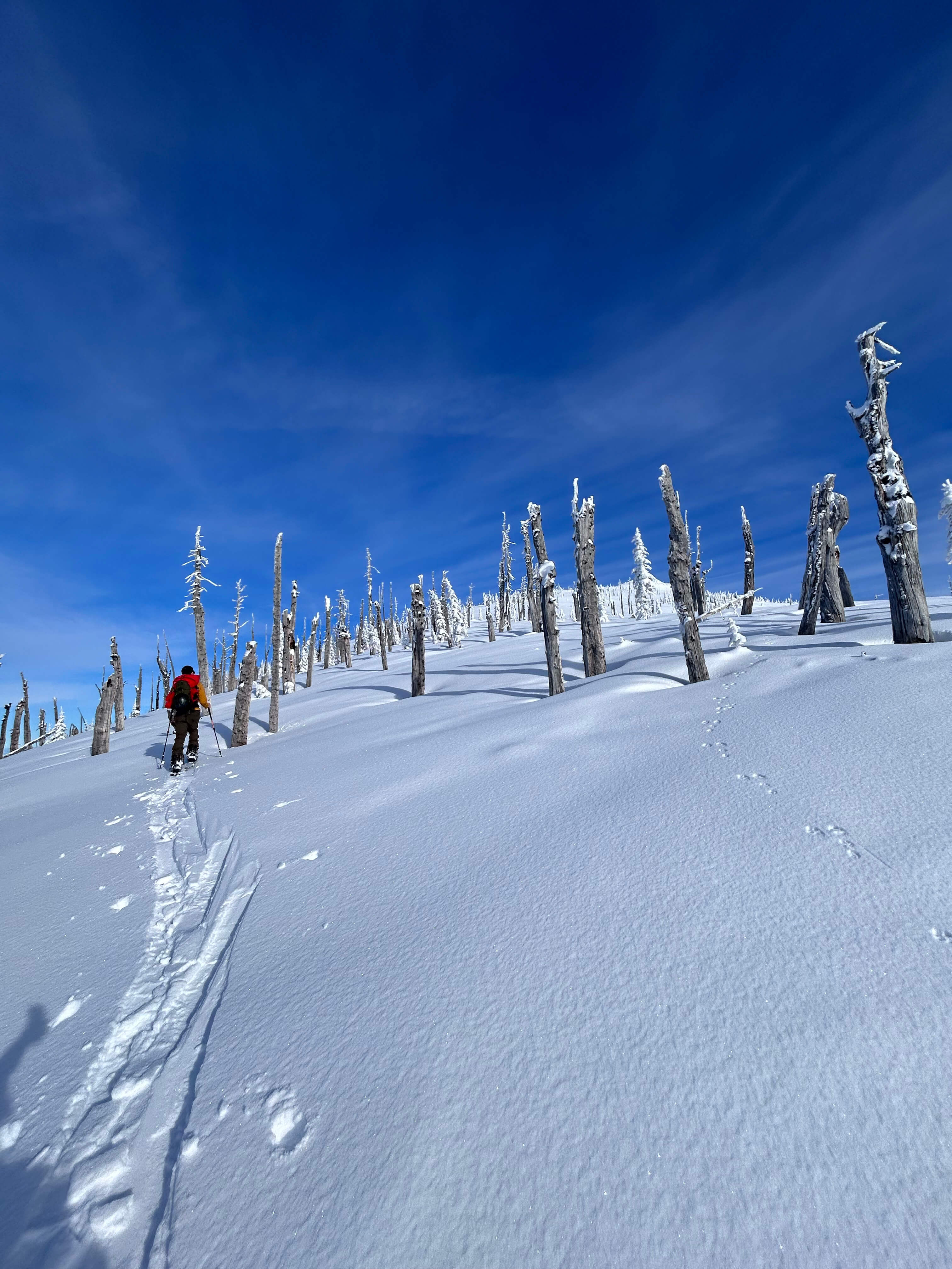
Follow Adam from the Meditation zone (dome location) to just below Atlasta’s summit. The openings between the trees are broad. The lines are endless. This clip reveals only the south, southeast, and southwest aspects – just a fraction of the terrain!
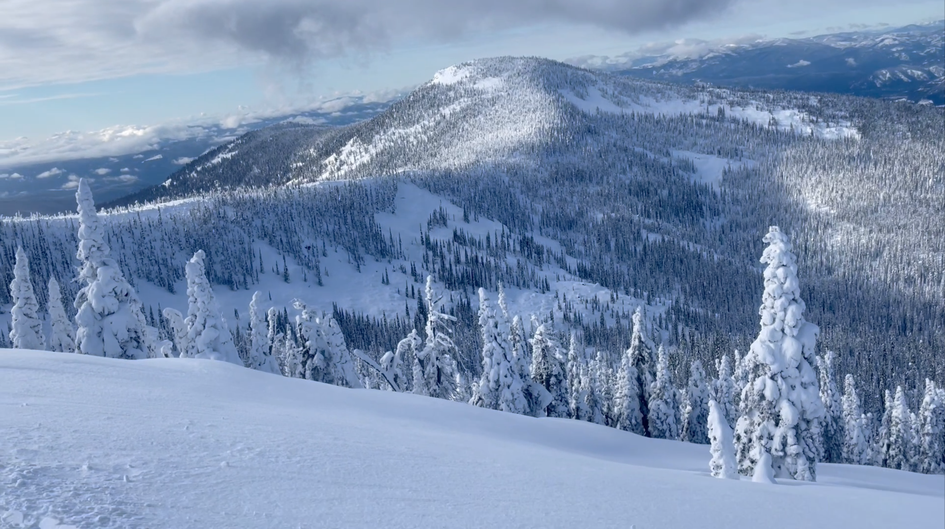
Legendary deep & dry powder snow
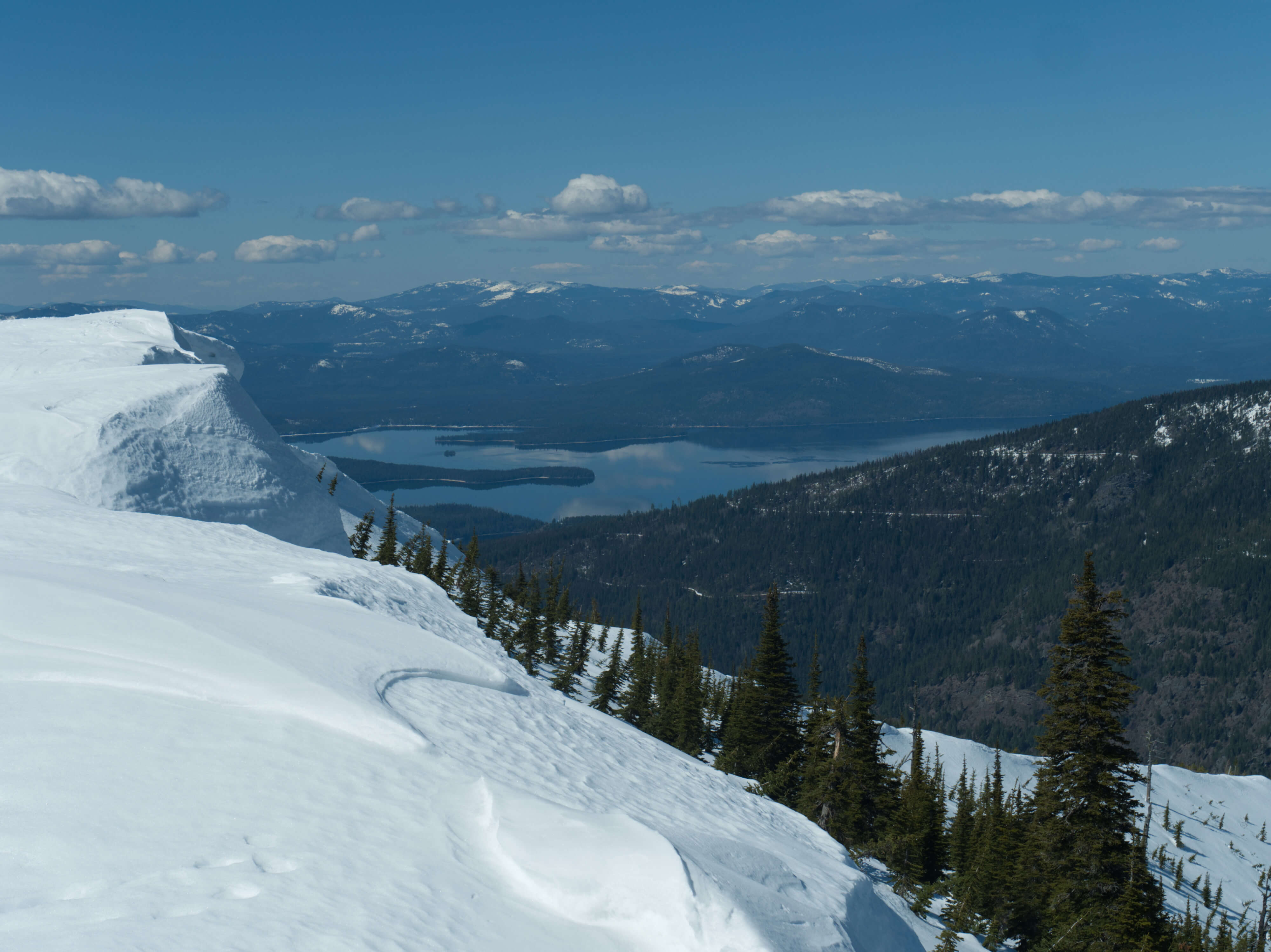
Idaho’s Selkirk Mountains
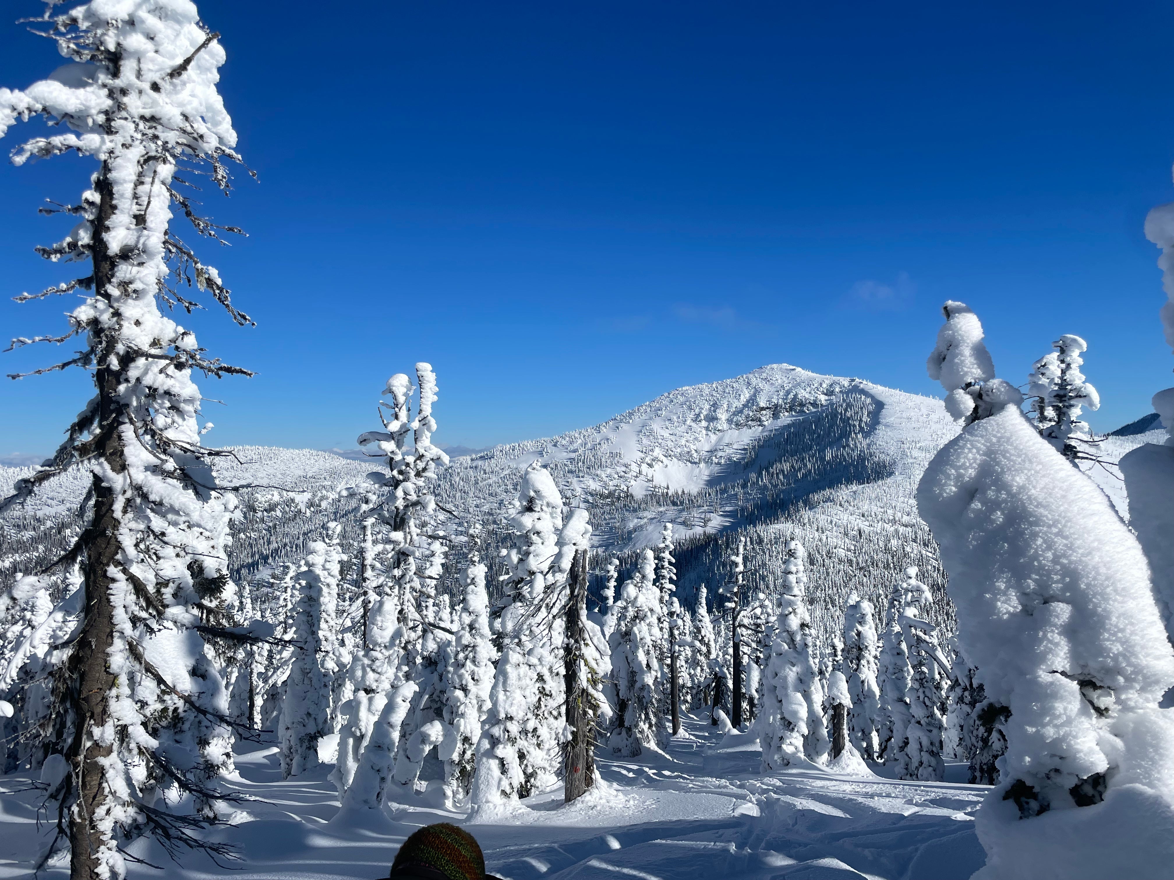
Geography
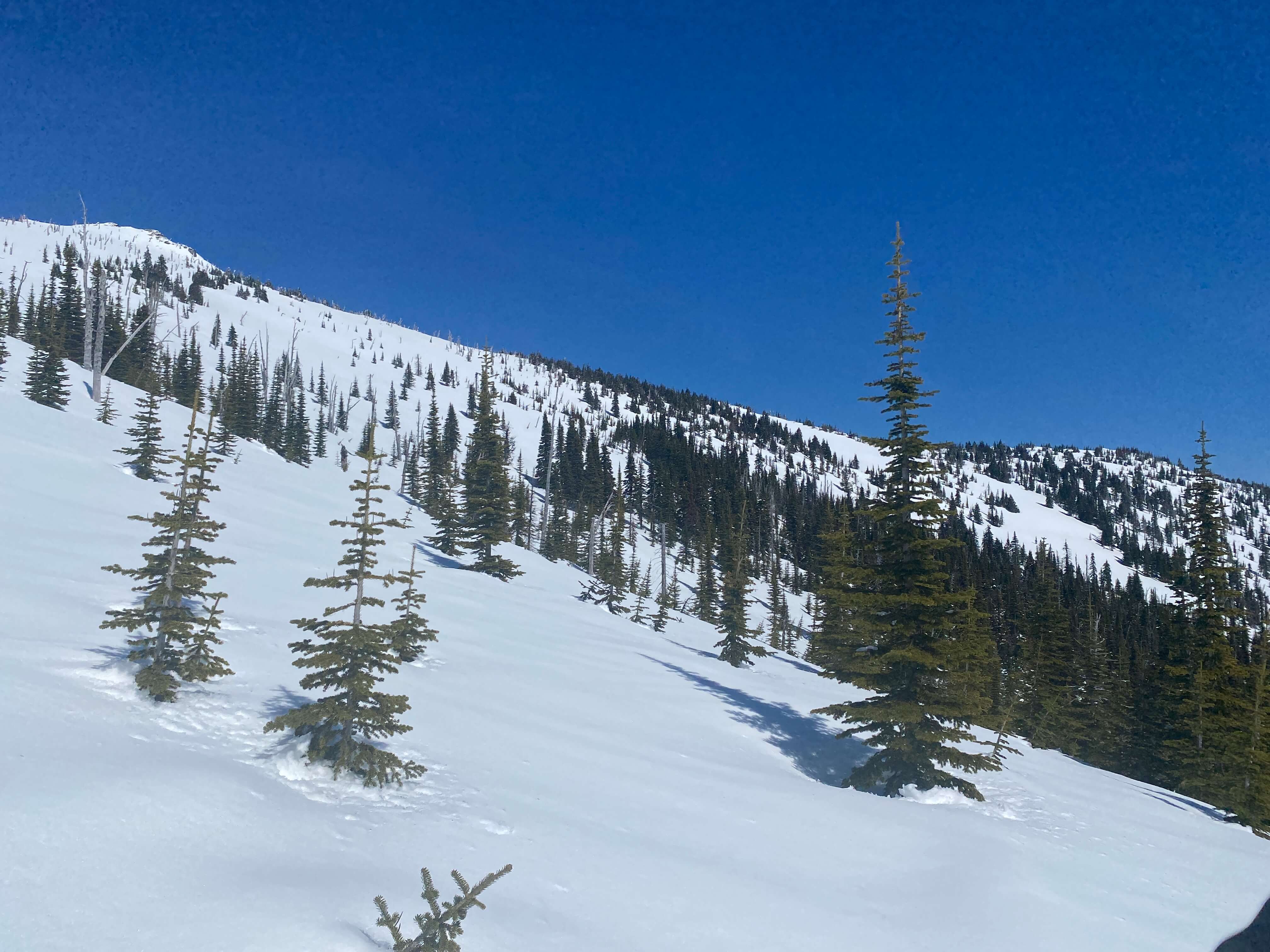
The Selkirk Mountains are a subrange of the Columbia Mountains that extend from northeastern Washington and northern Idaho into British Columbia. Peaks in the Idaho portion rise to about 7,700 ft and illustrate the U-shaped valleys, sharp ridges, and bowl-like cirques characteristic of its glacial history.
Weather
The weather in the Selkirks is driven by a unique position in the Pacific Northwest interior, leading to a “magic mix” of weather patterns:
- Storms from the Pacific Ocean move moisture inland, and orographic lift causes significant snowfall.
- The rain shadow of the Coast and Cascade ranges to the west wring out much of the water content of our snow. This mean that by the time the storms reach the Selkirks, the snow quality is lighter and drier.
- Winter temperatures consistently average below 40 °F (4 °C) at ski-elevations, which ensures that precipitation falls as snow rather than rain. Overnight lows in the high country can drop below 0 °F (−18 °C) on occassion.
Snowpack
Our unique snow quality is a cross between dense coastal snow and very light continental snow. This provides a deep, stable base. Prevailing southwesterly winds hit the range perpendicularly, which maximizes orographic lift and make consistent snowfall a regular occurrence. The interior location and elevation also help keep the snow cold and dry, preserving the powder quality for longer periods with minimal wind effect. Annual snowfall often totals over 400 in (10 m) per year in the high country.
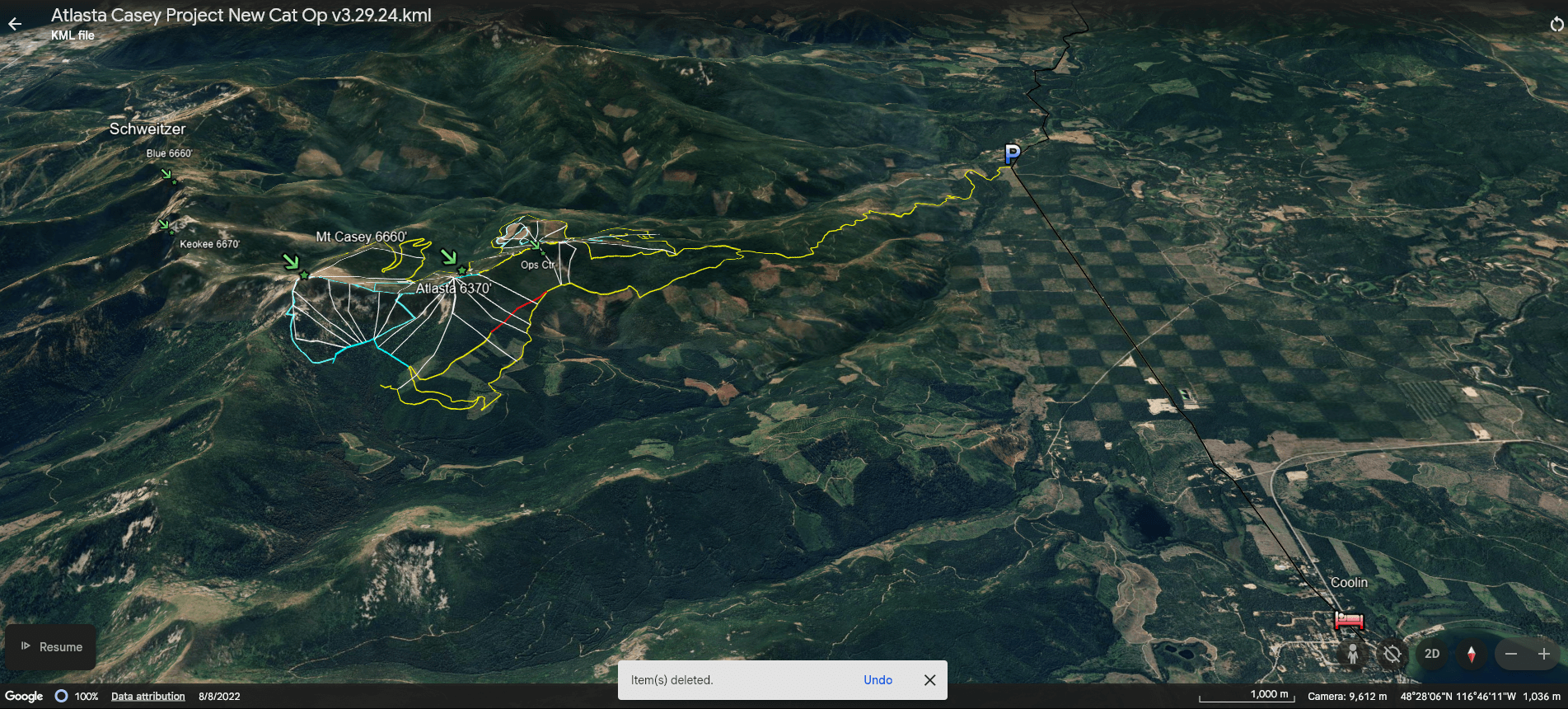
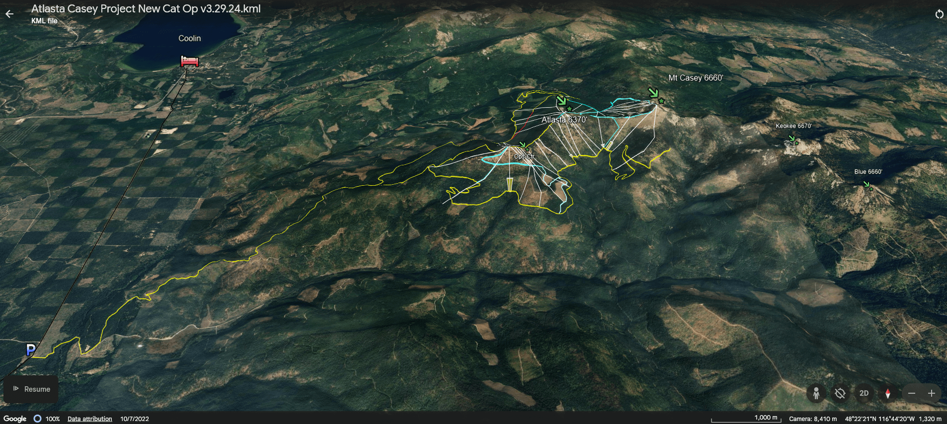
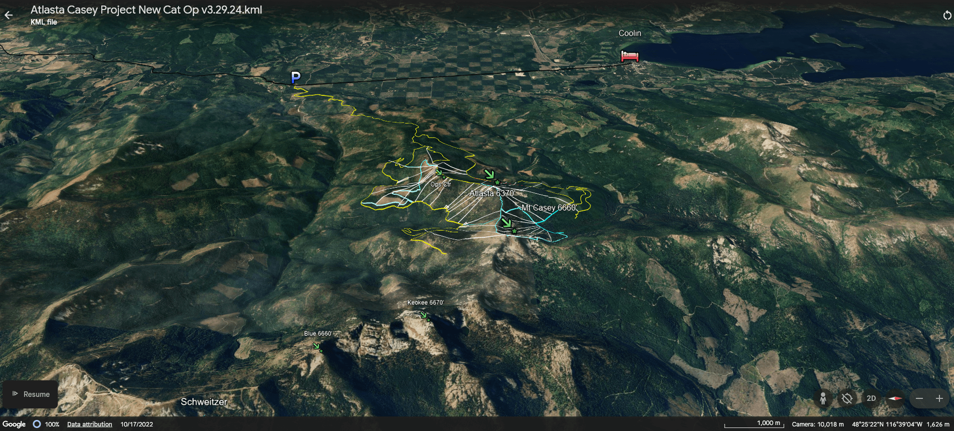
Atlasta–Casey, Phase 1
The terrain maps above illustrate the skiing aspects of Atlasta–Casey and its relative location to Coolin and Schweitzer.
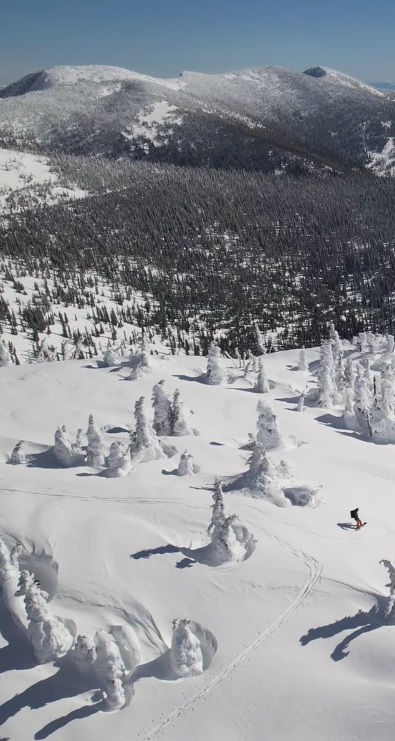
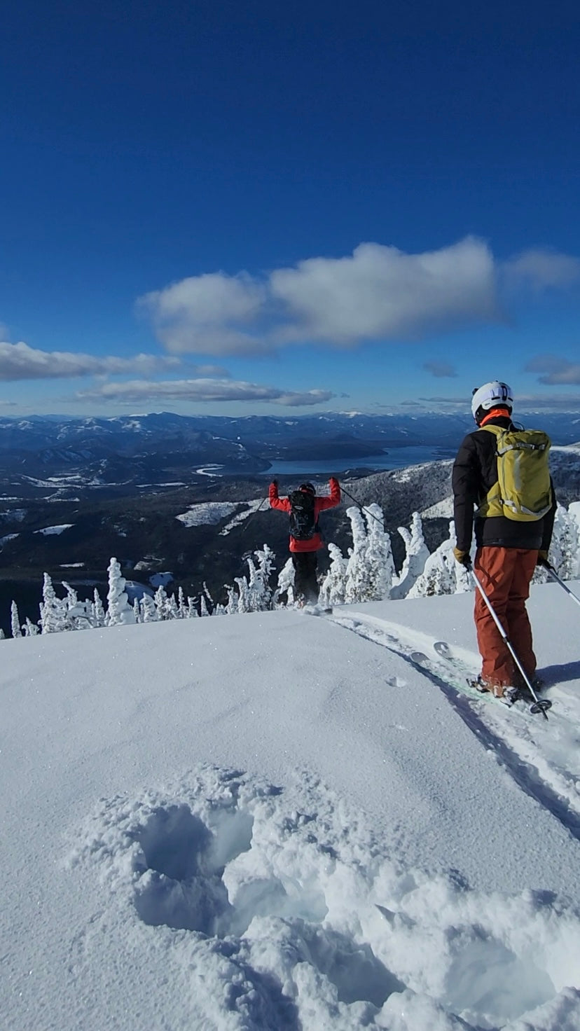
The new zone encompasses 6,250 acres of state-owned land, significantly larger than our previous operating area. Compared to our previous Schweitzer-based terrain, the Atlasta–Casey zone is as more diverse, steeper, and sits at a higher elevation with peaks that reach up to 6,700 ft.
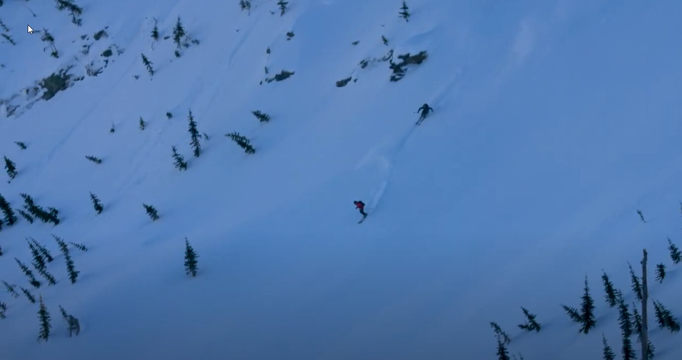
Runs are available on several slope aspects including those with steep, north-facing shots and prominent rock features. Descents offer up to 2,025 vertical feet.